-40%
170 old maps MISSISSIPPI state PANORAMIC genealogy HISTORY DVD
$ 3.16
- Description
- Size Guide
Description
Your browser does not support JavaScript. To view this page, enable JavaScript if it is disabled or upgrade your browser.Click Here. Double your traffic. Get Vendio Gallery - Now FREE!
Rare Map Collection
This DVD is part of our Historic Map and Atlas Collection.
We have dozens of Atlas maps on DVD and CD ranging from the 1500s to the 1900s covering many areas and topics.
Please Check our Ebay Store for what's available.
FOR MANY MORE EDUCATIONAL CD TITLES
ON THIS AND MANY OTHER SUBJECTS
PLEASE VISIT OUR EBAY STORE
VERY LARGE HIGH RESOLUTION
MAP COLLECTION
ON DVD!!
(please see full table of contents and sample illustrations below)
This DVD Contains
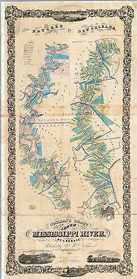
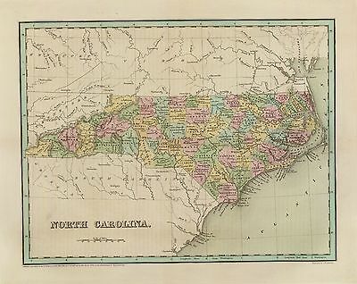
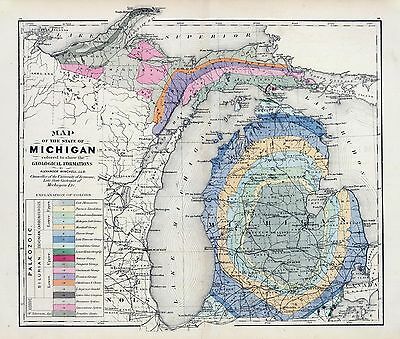
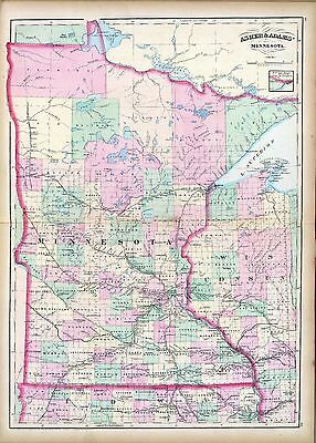
170 Maps of
Mississippi
These are scans of the
ORIGINAL
maps by various Cartographers.
on DVD
System requirements
PC or Mac compatible.
Files are simple PDF files with a basic HTML interface (just like viewing a webpage)
Works with ALL versions of Windows.
Maps of
Mississippi
0089033
Mississippi.
Bradford, Thomas G.
1838
0122024
Map Of Mississippi.
Carey, H. C. ; Lea, I.
1822
0149038
Mississippi.
Colton, G.W.
1856
0285028
Mississippi.
Finley, Anthony
1831
0537024
New Map Of Mississippi.
Mitchell, Samuel Augustus
1846
0977020
New Map Of Mississippi.
Tanner, Henry S.
1836
1070012
Mississippi.
U.S. General Land Office
1866
2301028
Mississippi.
Morse, Sidney E. (Sidney Edwards); Breese, Samuel
1845
2788011
Map of the Seat of War among the Creek Indians.
Melish, John
1815
3565097
Mississippi.
Rand McNally and Company
1897
4453035
Mississippi.
Goodrich, S.G. ; Bradford, Thomas G.
1841
4520031
Mississippi.
Rand McNally and Company
1879
4584064
Mississippi.
Lucas, Fielding Jr.
1823
4628054
Mississippi.
Burr, David H
1835
4664022
Plan Of Nogales.
The earliest map of the area of Vicksburg . With a key decoding the letters on the map. Uncolored with scale in fathoms.
Collot, George Henri Victor ; Tardieu, P.F.
1796
4664024
Town and Fort of Natchez.
Probably the earliest map of Natchez. Uncolored with the scale in fathoms.
Collot, George Henri Victor ; Tardieu, P.F.
1796
4807154
Mississippi.
Grassl, J. (Joseph) ; Meyer, Joseph
1852
4850054
Mississippi.
Greenleaf, Jeremiah
1840
5455000
State of Mississippi.
U.S. General Land Office
1878
ct000659
Plan du fort projette? au nouveau Bilocxy.
[1721]
ct000663
Batz, Alexandre de.
Coupe et profil de la redoute de Rosalie au Natchez prise sur la ligne A.B. aud lieu le 11 may 1732
ct000681
Demarigny.
Carte particulie`re d’une partie de la Louisianne ou les fleuve et rivierres [i.e. rivie`res] onts ete´s releve´ a l’estime & les routtes [i.e. routes] par terre releve´ & mesure´es aux pas, par les Srs. Broutin, de Verge´s, inge´nieurs & Saucier dessinateur / Demarigny.
[1743]
ct001420
Cram, George Franklin, 1841-1928.
Cram’s railroad & township map of Mississippi / published by Geo. F. Cram, proprietor of the Western Map Depot.
Chicago, Ill. : G.F. Cram, 1878.
cw0014450
Mahon, Charles.
Map of the alluvial region of the Mississippi Prepared to accompany the report of Capt. A. A. Humphreys and Lieut H. L. Abbot, Corps. of Top’l. Engrs., U.S.A. to the Bureau of Topl. Engrs., War Dept. Drawn by Chs. Mahon.
[S.l., 1861]
cw0259400
Lindenkohl, A.
Northern Mississippi and Alabama Compiled and engraved at the U.S. Coast Survey Office, from state maps, post office maps, local surveys, etc., with additions from campaign maps and information furnished by Capt. O. M. Poe, Chief Engineer, Military Division of the Mississippi and by Capt. W. E. Merrill, Chief Engineer, Department of the Cumberland. Drawn by A. Lindenkohl.
[S.l., H. Lindenkohl & Chas. G. Krebs, lith.], 1864.
cw0259500
Lindenkohl, A.
[Northern Mississippi and Alabama] Drawn by A. Lindenkohl. H. Lindenkohl & Chas. G. Krebs, lith.
[S.l.], U.S. Coast Survey, A. D. Bache, Supdt., 1865.
cw0260000
United States Coast Survey.
Southern Mississippi and Alabama : showing the approaches to Mobile / Coast Survey Office, A.D. Bache, supt.
[Washington, D.C.] : The Office, 1863.
cw0261000
Wilson, Js. H.
Map of the country between Millikens Bend, La. and Jackson, Miss. shewing the routes followed by the Army of the Tennessee under the command of Maj. Genl. U.S. Grant, U.S. Vols. in its march from Millikens Bend to the rear of Vicksburg in April and May 1863.
N.Y., Julius Bien & Co., photo lith., 1876
cw0271500
United States. Navy.
Sketch of rebel fortifications at Hayne’s Bluff.
[S.l., 1863]
cw0275000
Badeau, Adam, 1831-1895.
Map of the siege of Vicksburg. [1864].
[S.l., 1885]
cw0282500
Poole Brothers.
The Vicksburg National Military Park and vicinity showing lines of siege and defense of the city. National cemetery in background.
Chicago, Poole Bros., c1925.
cw0287000
United States Coast Survey.
Map illustrating the operations of the U.S. forces against Vicksburg.
[S.l.], J. W. Maedel, [1863]
cw0290500
Geological Survey (U.S.)
Vicksburg National Military Park, Miss. Albert Pike, Division Engineer. Topography by Frank Larner, H. G. Warner, and J. G. Harrison. Control by U.S. Geological Survey. Surveyed in 1935.
[Washington, U.S. Geological Survey, 1935]
ra000006
Pittman, Philip, captain.
Plan of Fort Rosalia.
London, Printed for J. Nourse, 1770.
rr002430
Rand McNally and Company.
Railroad commissioner’s map of Mississippi.
Chicago, 1888.
vhs00141
The Enemy's fortifications around Vicksburg.
Shows the terrain and Confederate fortifications around Vicksburg, Miss., in mid-May, 1863, just after Confederate Gen. Pemberton was forced to evacuate Hayne's Bluff. Indicated are the locations of Union forces under Sherman, McPherson, McClernand, and Carr.
Sneden, Robert Knox
1863-65
0027010
0028049
0041013
0073016
0102029
0104009
6814000
0151044
0152043
0182002
0278009
0280009
0315008
0352032
0358037
0425067
0535030
0545027
0565019
0572028
0579029
0586027
0592029
0594028
0890140
1071007
1071008
1550039
1603218
1690090
1780013
1780014
1780023
1780024
1780025
1780027
1780031
1780032
1780035
1780036
1780159
1954081
2054033
2094044
2134075
2212261
2239029
2307021
2329007
2436054
2470042
2470043
2483025
2501015
2547002
2589035
2593032
2603037
2680031
2710034
2721028
2743006
2752000
2755016
2780001
2782013
2788012
2809046
2844037
2866054
2905020
2915005
2991003
3471010
3471014
3803027
3825017
3858000
3870001
3884009
3888029
4323012
4324021
4328025
4472001
6727025
4534029
4557023
4574027
4577023
4578024
4587043
4662013
6921125
4723009
4727038
4825042
4835032
4864009
4864028
4866051
4869008
4884033
4966014
4977028
5022030
5028055
5028063
5028064
5041029
5198021
5363024
5370008
5371126
5388022
5479069
5745051
5755014
5784028
5797106
5802002
5956033
6323015
6323019
6323022
6323023
6323024
6323025
6323031
6323032
Features of this DVD
This auction is for a DVD of the maps listed in electronic form,
NOT
the maps themselves.
These maps are VERY high resolution and can be printed at FULL SCALE or LARGER for framing and display. The results are very high quality and convincing.
Ad and disk copyright 2013
Euriskodata
All Rights Reserved
Powered by
eBay Turbo Lister
The free listing tool. List your items fast and easy and manage your active items.


