-40%
152 maps WASHINGTON STATE PANORAMIC genealogy old HISTORY DVD
$ 3.16
- Description
- Size Guide
Description
Your browser does not support JavaScript. To view this page, enable JavaScript if it is disabled or upgrade your browser.Click Here. Double your traffic. Get Vendio Gallery - Now FREE!
Rare Map Collection
This DVD is part of our Historic Map and Atlas Collection.
We have dozens of Atlas maps on DVD ranging from the 1500s to the 1900s covering many areas and topics.
Please Check our Ebay Store for what's available.
FOR MANY MORE EDUCATIONAL CD TITLES
ON THIS AND MANY OTHER SUBJECTS
PLEASE VISIT OUR EBAY STORE
VERY LARGE HIGH RESOLUTION
MAP COLLECTION
ON DVD!!
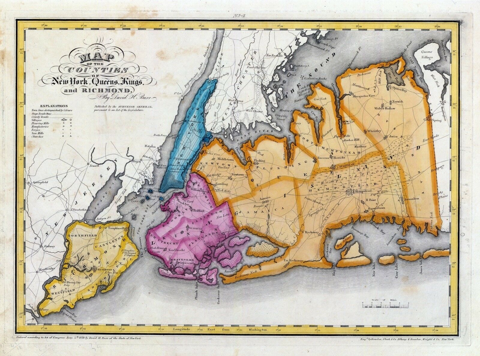
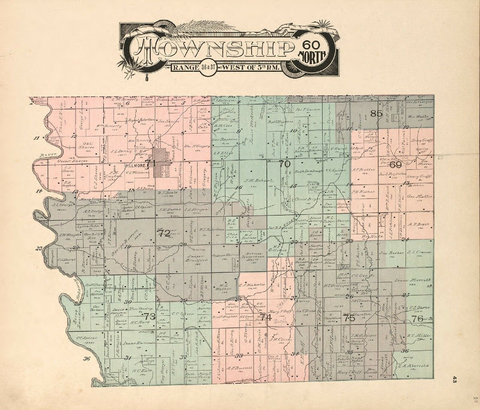
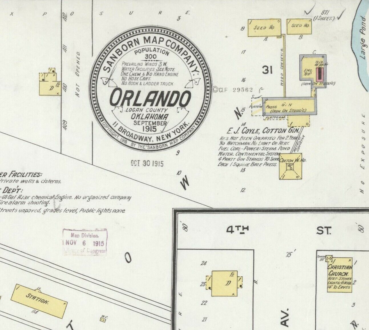
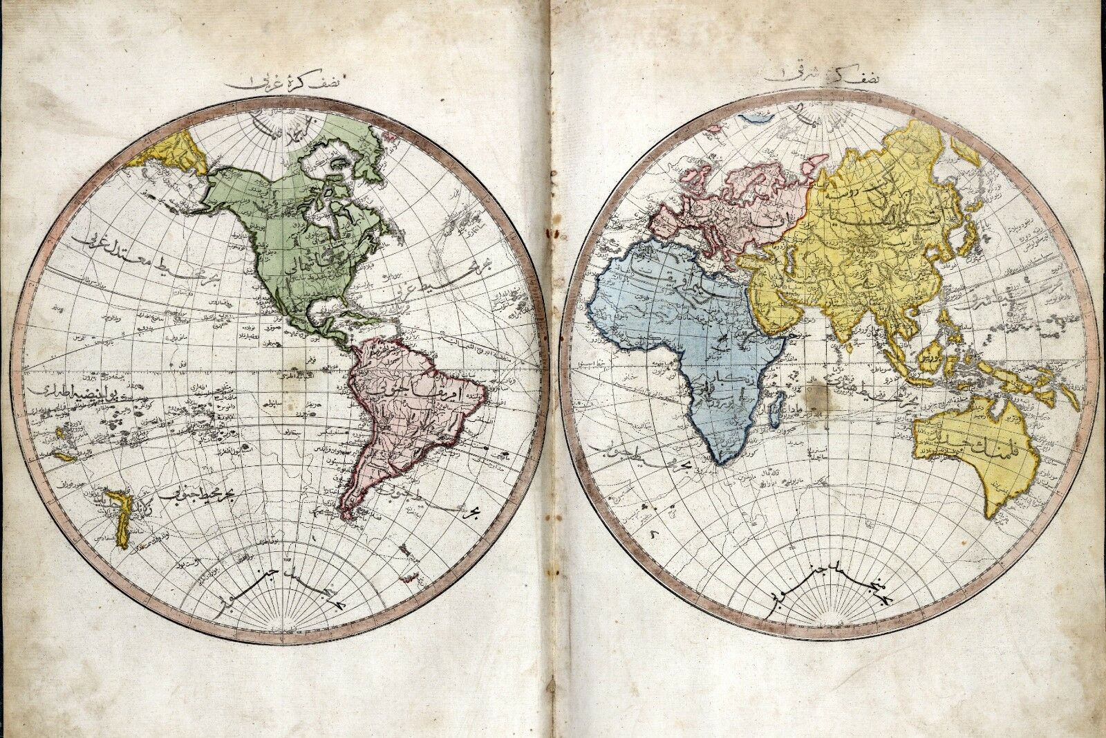
(please see full table of contents and sample illustrations below)
This DVD Contains
152 Maps of
Washington state
Including
18 PANORAMIC MAPS
of various Washington Cities
These are scans of the
ORIGINAL
maps by various Cartographers.
on DVD
System requirements
PC or Mac compatible.
Files are simple PDF files with a basic HTML interface (just like viewing a webpage)
Works with ALL versions of Windows.
Maps of
Washington
0041039
Asher & Adams
1874
Washington.
0149058
Colton, G.W.
1856
Washington And Oregon.
1070022
U.S. General Land Office
1866
Washington Territory.
2212243
Vandermaelen, Philippe, 1795-1869
1827
Partie des Etats Unis. Amer. Sep. 38.
2449088
Stieler, Adolf
1875
Vereinigte Staaten Von Nord-Amerika In 6 Blattern, Bl. 1.
2544009
Holdredge, Sterling M.
1866
Washington.
2905030
Johnson, A.J.
1860
Washington And Oregon.
3461000
U.S. General Land Office
1879
Washington Territory.
3565151
Rand McNally and Company
1897
Washington.
3825009
Rogers, Henry Darwin ; Johnston, Alexander Keith, 1804-1871
1857
Territories Of Washington And Oregon.
4476002
Espinosa y Tello, J.
1802
Carta Esferica de los Reconocimientos Hechos en la Costa N.O.
4520044
Rand McNally and Company
1879
Washington.
4653000
Anderson, O.P. and Co.
1890
City Of Seattle And Environs.
5215001
Rand McNally and Company
1925
Rand McNally Official 1925 Auto Trails Map Washington Oregon.
5370034
Cram Atlas Company
1875
Washington.
5392001
Northern Pacific Railroad Company
1888
Land grant W. Wash. & N. Oregon.
ct000263
Gill (J.K.) & Co.
J.K. Gill & Cos. map of Washingtonter.
Published/Created: [S.l.], 1878.
ct000267
Under a black cloud!
Published/Created: [S.l., 1883]
ct000269
Kroll Map Company, inc.
Foot traffic in Seattle, Washington, Wednesday, April 26th, 1922.
Published/Created: [S.l.], 1922.
ct001237r
Rand McNally and Company.
Map showing the land grant of the Northern Pacific Railroad Company in Montana, Idaho, and in part of North Dakota, and in part of eastern Washington, reaching from Dickinson, North Dakota, to Ritzville, eastern Washington.
Published/Created: Chicago : Rand McNally & Co., c1890.
ct001634
Ware, W. J.
Map showing the townsite of Port-Angeles and vicinty / compiled by W.J. Ware.
Published/Created: Port Angeles [Wash.] : W.J. Ware, 1891.
ct001635
Map of Port Angeles, Washington territory.
Published/Created: Port Angeles [Wash.] : W.J. Ware, 1891.
pm009670
Wellge, H. (Henry)
Bird’s eye view of Cheney, Wash. Ter., county seat of Spokane County, 1884. H. Wellge, del. Beck & Pauli litho.
Published/Created: Madison, Wis., J. J. Stoner, 1884.
pm009680
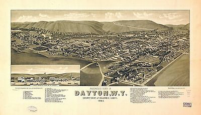
Wellge, H. (Henry)
Panoramic view of Dayton, W.T., county seat of Columbia County 1884. H. Wellge, del. Beck & Pauli, litho.
Published/Created: Madison, Wis., J. J. Stoner, 1884.
pm009690
Arnold, Syd W.
View of the city of North Yakima, Washington. Syd W. Arnold, del.
Published/Created: [n.p.] Spike & Arnold Map Publishing Co., 1889.
pm009700
Glover, E. S.
Bird’s eye view of the city of Olympia, East Olympia and Tumwater, Puget Sound, Washington Territory, 1879.
pm009710
Lange, Edward.
Olympia, the capital on Puget Sound, Washington. Edw. Lange, art. Engraved and printed by Franklin Engraving & Electrotyping Co.
Published/Created: Olympia; Copies for sale by S. S. Churchill, stationer, c1903.
pm009720
Glover, E. S.
Bird’s eye view of Port Townsend, Puget Sound, Washington Territory 1878. A.L. Bancroft & Co., lith.
Published/Created: Portland, Or., 1878.
pm009730
Glover, E. S.
Bird’s eye view of the city of Seattle, Puget Sound, Washington Territory, 1878. A.L. Bancroft & Co., lithographers.
Published/Created: Portland, Or., 1878
pm009740
Wellge, H. (Henry)
Bird’s eye view of the city of Seattle, W.T., Puget Sound, county seat of King County 1884. H. Wellge, del. Beck & Pauli, litho.
Published/Created: Madison, Wis., J. J. Stoner, 1884.
pm009750
Koch, Augustus, b. 1840.
Birds-eye-view of Seattle and environs King County, Wash., 1891. Hughes Litho. Co.
Published/Created: Chicago, 1891.
pm009760
Tulloch, Ross W.
Main business district periscopic Seattle.
Published/Created: [Seattle] Periscopic Map Co., c1903.
pm009770
Poland, Edwin C.
Seattle birdseye view of portion of city and vicinity. Drawn by Edwin C. Poland.
Published/Created: Seattle, Kroll Map Company, c1925.
pm009771
Elliott Pub. Co.
Birds-eye view of Snohomish, Washington.
Published/Created: [Washington?] : Sun Publishing Co., [1890?]
pm009780
John W. Graham & Co. (Spokane, Wash.)
Spokane, Washington.
Published/Created: Spokane, c1905.
pm009790
Glover, E. S.
View of new Tacoma and Mount Rainier, Puget Sound, Washington Territory. A.L. Bancroft & Co., lith.
Published/Created: Portland, Or., 1878.
pm009800
Wellge, H. (Henry)
View of the city of Tacoma, W.T., Puget-Sound, county seat of Pierce Cty. 1884. H. Wellge, del. Beck & Pauli, litho.
Published/Created: Madison, Wis., J. J. Stoner, 1884.
pm009822
McIntyre, J. R.
Tacoma, Washington / the Blatchly Co., lith., Tacoma.
Published/Created: Tacoma : J.R. McIntyre, 1893.
pm009830
Glover, E. S.
Bird’s eye view of Walla Walla, Washington Territory 1876. Drawn by E. S. Glover. A.L. Bancroft & Co., lithographers.
Published/Created: Walla Walla, Everts & Able [1876] c1875.
pm009840
Burleigh, L. R. (Lucien R.), 1853?-1923.
Fairport, N.Y. Published & drawn by L. R. Burleigh. Beck & Pauli, litho.
Published/Created: Troy, N.Y., c1885.
rr005090
G.W. & C.B. Colton & Co.
Colton’s township map of Oregon & Washington Territory, issued by the Oregon Railway and Navigation Co.
Published/Created: New York, c1880.
0027010
0151063
0152065
0233007
0256001
0352043
0358048
0425125
0535040
0565026
0572039
0579042
0586048
0592050
0594048
0693026
0693027
0955000
0967000
0994010
1012074
1079001
1079002
1079003
1079004
1079005
1079006
1079007
1079008
1079009
1079010
1550064
1578006
1603221
1690121
1891002
1892002
1916001
1916002
1916A
1954108
2054060
2094062
2134047
2134097
2134098
2134101
2134106
2134107
2212236
2218000
2239024
2307026
2470057
2470058
2470059
2470060
2483039
2585078
2710029
2748000
2773007
2809066
2844081
2861024
2866048
2871037
3301002
3354005
3528000
3583000
3584000
3595000
3798003
3888048
4101002
4119001
4324024
4336002
4442004
4451002
4574039
4587067
4727056
4740054
4825061
4888003
4977074
5028148
5028150
5028152
5041042
5111000
5124040
5215A
5232001
5232A
5232B
5479103
5755040
5755051
5797085
5969051
6322053
6322170
6322171
6322172
6322173
6322174
6322175
6816002
6921129
Features of this DVD
This auction is for a DVD of the maps listed in electronic form,
NOT
the maps themselves.
These maps are VERY high resolution and can be printed at FULL SCALE or LARGER for framing and display. The results are very high quality and convincing.
Ad and disk copyright 2013
Euriskodata
All Rights Reserved
Powered by
eBay Turbo Lister
The free listing tool. List your items fast and easy and manage your active items.


