-40%
140 maps WEST VIRGINIA state atlas PANORAMIC old genealogy HISTORY DVD
$ 3.16
- Description
- Size Guide
Description
Your browser does not support JavaScript. To view this page, enable JavaScript if it is disabled or upgrade your browser.Click Here. Double your traffic. Get Vendio Gallery - Now FREE!
Rare Map Collection
This DVD is part of our Historic Map and Atlas Collection.
We have dozens of Atlas maps on DVD ranging from the 1500s to the 1900s covering many areas and topics.
Please Check our Ebay Store for what's available.
FOR MANY MORE EDUCATIONAL CD TITLES
ON THIS AND MANY OTHER SUBJECTS
PLEASE VISIT OUR EBAY STORE
VERY LARGE HIGH RESOLUTION
MAP COLLECTION
ON DVD!!
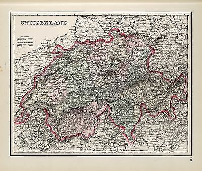
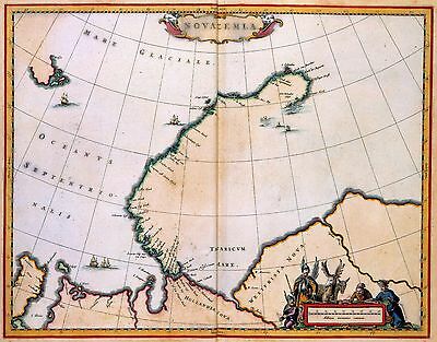
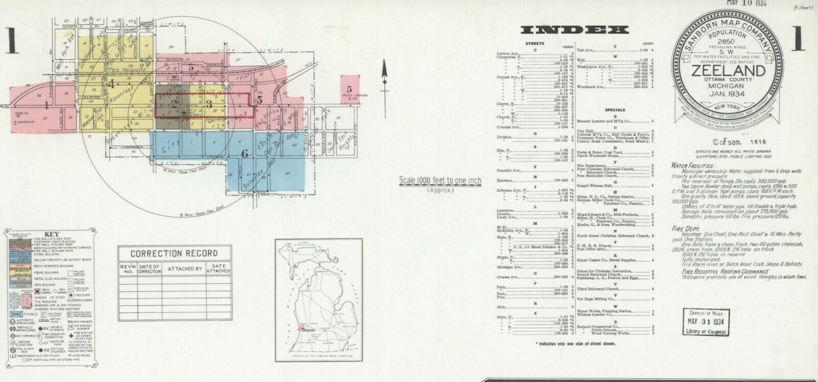
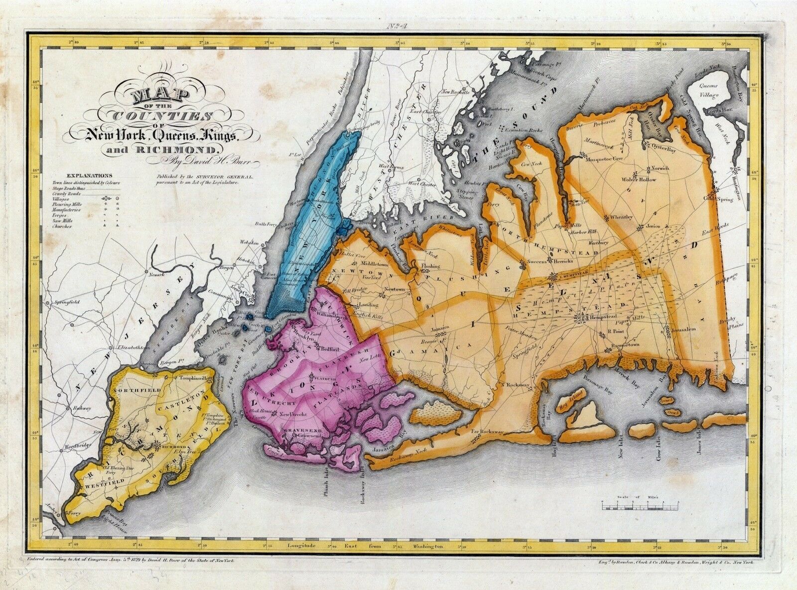
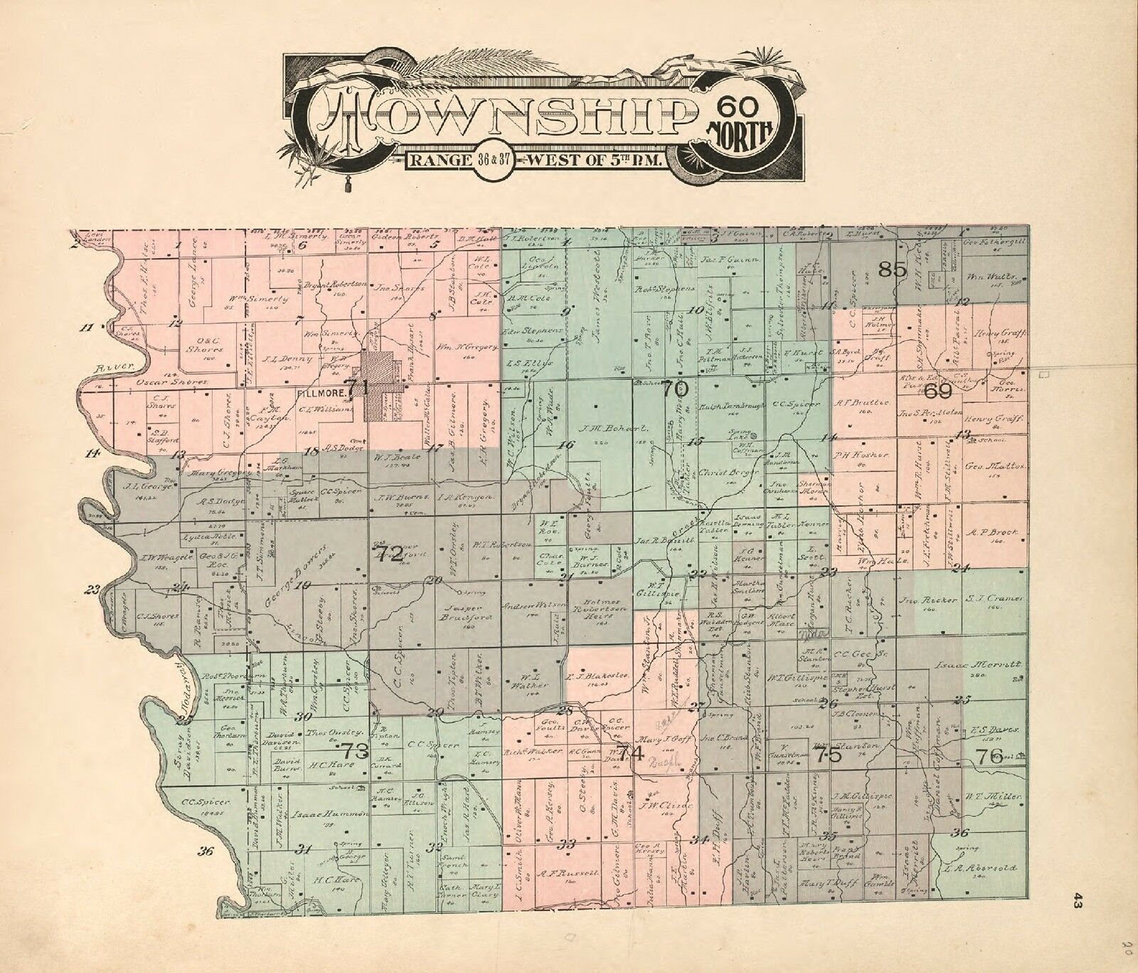
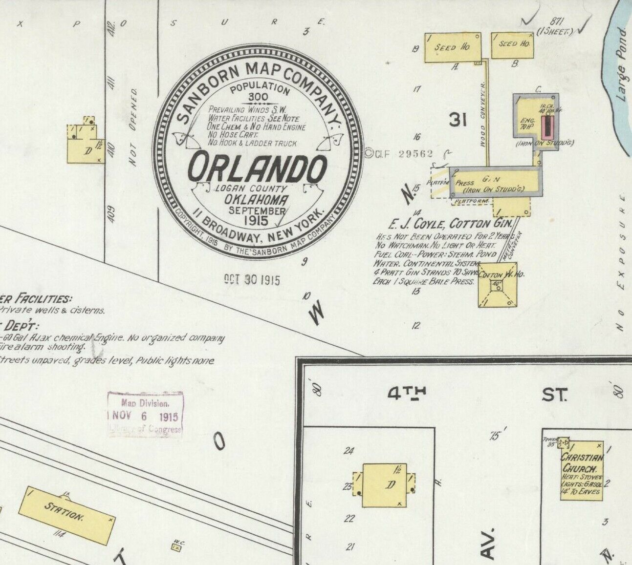
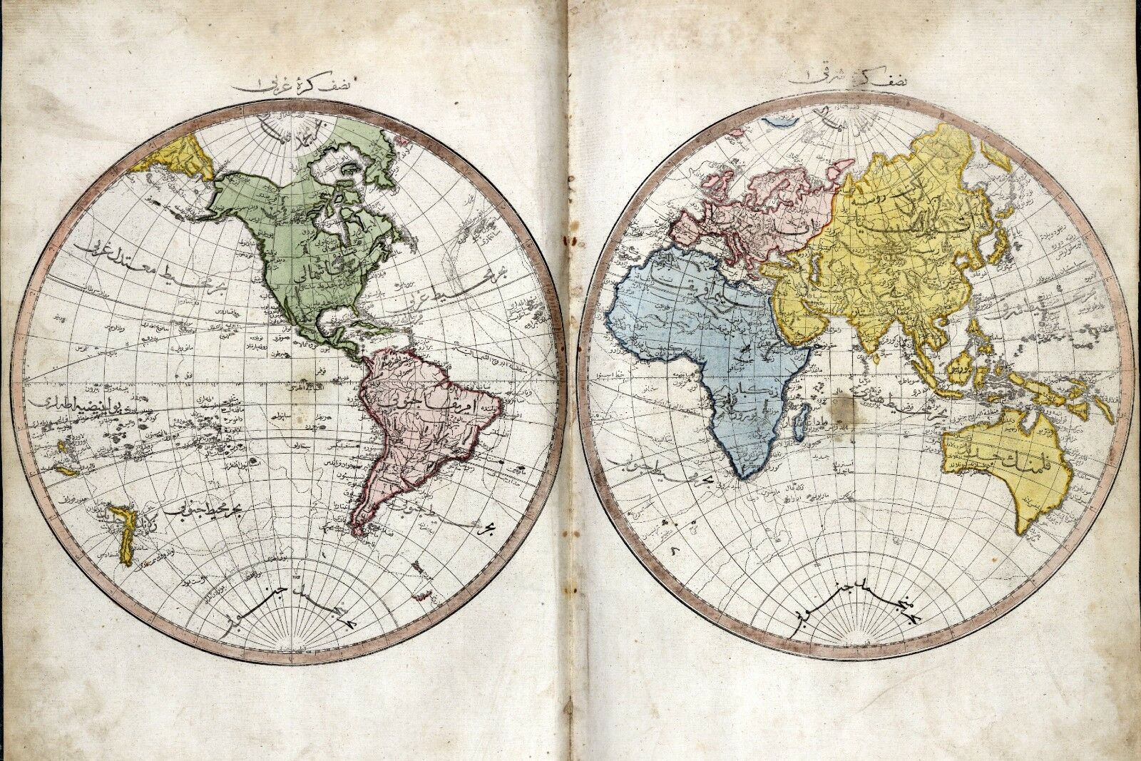
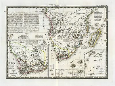
(please see full table of contents and sample illustrations below)
This DVD Contains
140 Maps of
West Virginia
Including
29 PANORAMIC MAPS
of various West Virginia Cities
These are scans of the
ORIGINAL
maps by various Cartographers.
on DVD
System requirements
PC or Mac compatible.
Files are simple PDF files with a basic HTML interface (just like viewing a webpage)
Works with ALL versions of Windows.
Maps of
West Virginia
3565087
Rand McNally and Company
Date: 1897
Short Title:
West Virginia.
4190000
Richardson, C.S.
Date: 1864
Short Title:
Richardson's Map Of West Virginia.
4975106
Hayes, Eli L.
Date: 1877
Short Title:
Point Pleasant, Mason Co., West Va. (with) West Columbia, Clifton, W. Va.
4975111
Hayes, Eli L.
Date: 1877
Short Title:
Huntington, Cabell Co., W. Va.
4975113
Hayes, Eli L.
Date: 1877
Short Title:
Ceredo, Wayne Co., 1st Dist., W. Va. (with) Catlettsburg, Boyd Co., Ky.
ar300700
Washington, George, 1732-1799.
Main Title: [Plat of a survey for William Hughes, Jr. of 460 acres in Frederick County, Va. on the Cacapon River].
1750.
ct000363
Washington, George, 1732-1799.
Main Title: [Eight survey tracts along the Kanawha River, W.Va. showing land granted to George Washington and others.
1774?]
ct000592
West Virginia Geological Survey.
Main Title: Soil map : West Virginia, Boone county sheet.
Baltimore : A. Hoen & Co., 1913.
ct000593
Swann, John S.
Main Title: Title map of the coal field of the great Kanawha Valley.
New York : G.W. & C.B. Colton, 1867.
ct000594
Hotchkiss, Jedediah, 1828-1899.
Main Title: Map of Great Kanawha coal field showing location of mines.
[Staunton, Va.], 1886.
ct000595
Chesapeake and Ohio Railroad Company.
Main Title: General and regional map of that portion of the New River and Kanawha coal fields lying between the New, Kanawha and Guyandot Rivers and west of Piney Creek.
New York : Julius Bien & Co., c1905.
ct000776
United States. Post Office Dept.
Main Title: Post route map of the state of Virginia and West Virginia.
[Washington, D.C.] : Postmaster General, 1896.
cw0481700
Nicholson, W. L.
Main Title: Map of the state of Virginia / compiled from the best authorities, at the Coast Survey Office. A. D. Bache, Supdt. August 1863. Compiled by W. L. Nicholson. Lith. by Chas. G. Krebs.
[Washington] : U.S. Coast Survey , 1863.
cw0493600
Nicholson, W. L.
Main Title: Map of the State of Virginia compiled from the best authorities, and printed at the Coast Survey Office. A. D. Bache, Supdt. May 1864. Compiled by W. L. Nicholson.
[S.l.], Lith. by Chas. G. Krebs., 1864.
cw0509200
Nicholson, W. L.
Main Title: Map of the State of Virginia compiled from the best authorities, and printed at the Coast Survey Office. A. D. Bache, Supdt. 1865. Compiled by W. L. Nicholson. Lith. by Chas. G. Krebs.
[S.l.], 1865.
cw0509400
Northrup, William P.
Main Title: Map of Virginia and neighboring states showing the location of battles in the Civil War 1861-1865.
cw0693000
Richardson, James H.
Main Title: Map to illustrate the report of Brigadier-General Hill Richardson, sc.
N.Y., [1861]
cw0694000
United States. Army. Corps of Engineers.
Main Title: Map of the battle field of Carnifex Ferry, Gauley River, West Va., Sept. 10th 1861. United States forces commanded by Brig. Gen. W. S. Rosecrans Published by authority of the Hon. the Secretary of War.
[S.l.], Office of the Chief of Engineers, U.S.A., 1876.
cwh00043
[Map of Loudoun County and part of Clarke County, Va., Jefferson County and part of Berkeley County, W. Va., and parts of Montgomery and Frederick counties, Md.].
[1864]
cwh00066
[Sketch of western Virginia and eastern West Virginia, between Staunton and Clarksburg].
[1861]
cwh00068
[Map of portions of Hampshire and Mineral Counties, W. Va., and Garrett County, Md.].
[1861]
cwh00081
[Pencil sketch of the road from Slaven’s Cabin to the top of Cheat Mountain in the area of the battle of Rich Mountain, July 11-12, 1861].
cwh00084
[Sketch of roads and streams in Highland County, Va., and Pendleton County, W. Va.].
[1861]
cwh00184
[Sketch of the region west of Charlestown, West Virginia, showing fortifications].
[1864]
cwh00191
[Topographic map of the vicinity of Harpers Ferry, West Virginia].
[1864]
cwh00192
Vicinity of Harpers Ferry.
[1864]
cwh00214
Hotchkiss, Jedediah, 1828-1899.
Main Title: A centennial map of the Lexington Presbytery of the Synod of Virginia of the Presbyterian Church in the United States, organized Sept. 26, 1786, centennial Sept. 26, 1886, at Timber Ridge Church / by Jed. Hotchkiss, Top. Eng.
cwh00216
[Sketch of central West Virginia, showing drainage between Clarksburg and Charleston].
[187-?]
cwh00217
Hotchkiss, Jedediah, 1828-1899.
Main Title: Plats of the Wilson Cary Nicholas surveys (from the originals) made in Wythe and Russell Counties, Virginia, now Mercer, Raleigh, Wyoming, McDowell, and Logan counties, West Virginia / Eng. Office of Jed. Hotchkiss, Staunton, Va., July 1st, 1884
cwh00218
Rogers, William Barton, 1804-1882.
Main Title: Geological map of Virginia & West Virginia showing their chief geological sub-divisions / by Prof. William B. Rogers on basis of the physical & pol. map of A. Guyot.
[S.l. : s.n., 187-?]
cwh00220
Hotchkiss, Jedediah, 1828-1899.
Main Title: Geological map of the Potomac basin west of Blue Ridge, Virginia and West Virginia : showing the relations of its upper Potomac coal basin and the iron-ore bearing areas in reference to the West Virginia Central and Pittsburg [sic] R.R., and its connections and extensions / compiled from surveys by W.B. Rogers and others by Jed. Hotchkiss, Consulting Eng., etc.
1882.
cwh00227
Ruffner, W. H.
Main Title: From Cold Mt. in Amherst across Rockbridge & Bath cos., Va. & part of Pocahontas Co., W. Va. / surveyed by Dr. W.H. Ruffner & Prof. J.L. Campbell (1861-77) ; drawn by Prof. C.
cwh00238
Hotchkiss, Jedediah, 1828-1899.
Main Title: Map of part of the great Flat-top coal-field of Va. & W. Va. showing location of Pocahontas & Bluestone collieries, May 1886 / Eng. Office of Jed. Hotchkiss, Staunton, Va.
cwh00239
Hotchkiss, Jedediah, 1828-1899.
Main Title: Coal section of Flat-top Mountain / Jed. Hotchkiss, Staunton, Va., 1896.
cwh00240
Hotchkiss, Jedediah, 1828-1899.
Main Title: Section of coal beds in Flat-top Mountain / Jed. Hotchkiss, Staunton, Va., 1896.
cwh00251
Hotchkiss, Jedediah, 1828-1899.
Main Title: Topographical map of the Cabin Creek coal lands, situated in Boone and Kanawha counties, West Virginia : containing 15,532 acres / from surveys by M.A. Miller ; Engineer Office, Jed. Hotchkiss, Staunton, Va.
[188-?]
cwh00252
Miller, M. A.
Main Title: A topographical map of the lands of the Cabin Creek Coal Co. of W. Virginia embracing 14,307 acres in Kanawha and Boone counties, West Virginia / from actual surveys by M.A. Miller, 1873.
cwh00253a
Dr. Hale’s map of Cabin Creek lands.
[1893]
cwh00253b
Hale’s 8225 A Cabin Cr.
[1893]
cwh00254
Map showing location of Flat top, New River, Gauly Lower Measures coal field, West Virginia.
[188-?]
cwh00256
Hotchkiss, Jedediah, 1828-1899.
Main Title: Map of the Loup-Piney Divide coal lands in Fayette and Raleigh cos., West Virginia / Eng. Office of Jed. Hotchkiss, Cons. Eng., Staunton, Va., Nov. 1879.
cwh00257
Hotchkiss, Jedediah, 1828-1899.
Main Title: Map of the Loup-Piney Divide coal lands in Fayette and Raleigh cos., West Virginia / Eng. Office of Jed. Hotchkiss, Staunton, Va., Oct. 25th, 1879.
cwh00258
[Survey of a tract of 9,138 acres of coal lands on the New River in Raleigh County, West Virginia, west of Quinnimont].
[188-?]
cwh00259
Hotchkiss, Jedediah, 1828-1899.
Main Title: Map of the New River Coalfield on C.& O. R.R. / by Jed. Hotchkiss, C.E.
[188-?]
cwh00261
Hotchkiss, Jedediah, 1828-1899.
Main Title: Map showing location &c. of "Middleton" coal lands, Fayette County, W. Va. / from surveys by County Surveryor [sic.] Settle, Eng. Office of Jed. Hotchkiss, Staunton, Va. Feb. 1882.
cwh00262
Reddy, Walter Comfort, b. 1870.
Main Title: Map showing land holdings in Muddlety Cr. Coal Field in Nicholas Co., W. Va. / W.C. Reddy, C.E., Nicholas C.H., W. Va., Feby 25, 1895.
cwh00263
Hotchkiss, Jedediah, 1828-1899.
Main Title: Map of the "Slaughter’s Creek" coal & timber lands, 2,907 acres, Kanawha County, West Virginia, U.S. America / Engineer Office of Jed. Hotchkiss, Staunton, Virginia, Jan. 1875.
cwh00269
Oltmanns, C. W.
Main Title: [Map of Royal Land Company of Virginia lands in Rockingham, and Augusta counties Virginia, and Pendleton County, West Virginia] / Office, Royal Land Company of Virginia, Jan. 1877, C.W. Oltmanns C.E., Harrisonburg, Va.
cwh00272
[Sketch of the "proposed route of Virginias Railway" to Flat-top and Guyandot coal fields, West Virginia].
[188-]
cwh00309
[Rough sketch of roads and streams in Pocahontas and Greenbrier counties, West Virginia].
[187-?]
cwh00320
Tract no. 1, plat of Wm. T. Mann, 1,147 A. patent : according to patent calls, corrected by lat. & dep.
[187-?]
cwh00322
Hotchkiss, Jedediah, 1828-1899.
Main Title: Map showing the location of the "Herr" lands, Grant County, W. Va. / compiled from 1855 map of W. Va. C. & Pg. Ry., by Jed. Hotchkiss, Cons. Eng., Staunton, Va., May 1892.
cwh00323
Sketch map showing location of 5,007 acres of Elkhorn Fork, W. Va. coal & timber lands.
[187-?]
cwh00327
Plat of the partition of Moore & Beckley survey of 170,038 a. in the counties of Giles & Logan, Virginia.
[187-?]
cwh00336
Map of Huntington, W. Va., and vicinity, the Ohio River terminus of the Virginias Railway.
[188-?]
cwh00337
Hotchkiss, Jedediah, 1828-1899.
Main Title: Map of the "Kanawha City" estates, Kanawha County, West Virginia, United States of America / Engineer Office of Jed. Hotchkiss, Staunton, Virginia, Jan. 1875.
cws00179
[Map of part of Pocahontas, Randolph, and Webster counties, West Virginia].
[1865?]
lva00026
Johnson's Virginia, Delaware, Maryland & West Virginia.
New York : A.J. Johnson, 1864.
lva00078
Map showing the location of railroads, canals, navigation projects and public institutions in which the Commonwealth of Virginia had invested money as of date January 1st. 1861 : as traced from an official map in the possession of the Virginia State Library entittled [sic] "A map of the State of Virginia reduced from the Nine Sheet Map of the State in conformity to law by Herman Boye, 1828, corrected by order of the Executive 1859 by L.v. Buckholtz" : together with the division line later established between Virginia and West Virginia and additional extensions made from completion of map until January 1st, 1861.
[S.l. : s.n., 1914?]
lva00089
New map of Virginia : compiled from the latest maps / drawn and colored by Husted & Nenning ; lith. of Hoyer & Ludwig.
Husted & Nenning.
Richmond, Va. : J.W. Randolph, Publisher, 1861.
lva00095
County map of Virginia and West Virginia / drawn & engd. W.H. Gamble.
Mitchell, S. Augustus 1792-1868. (Samuel Augustus),
[Philadelphia?] : S.A. Mitchell, c1863.
lva00096
Johnson's Virginia, Delaware, Maryland & West Virginia.
Johnson, A. J. 1827-1884. (Alvin Jewett),
[New York] : Johnson and Ward, 1864.
lva00119
Johnson's Virginia, Delaware and Maryland.
Johnson, A. J. 1827-1884. (Alvin Jewett),
[New York] : Johnson and Ward, [1864]
lva00131
[Map of Raleigh, Mercer and Summers Counties, West Virginia / prepared by residents of western Virginia for General Loring]
[1862?]
pm006800
Wellge, H. (Henry).
Main Title: Bird’s eye view of Bellaire, Ohio 1882. H. Wellge, del. Beck & Pauli, lithographers.
Madison, Wis., J. J. Stoner, c1882.
pm009860
Moray, John, 1831-
Main Title: Berkeley Springs, a celebrated and fashionable health resort, county seat of Morgan Co., W.Va. A. Hoen & Co., lith.
Baltimore, c1889.
pm009870
Fowler, T. M. (Thaddeus Mortimer), 1842-1922.
Main Title: Aero view of Bluefield, West Virginia 1911 / T. M. Fowler del.
Flemington, N.J. : Fowler & Basham, 1911.
pm009880
Fowler, T. M. (Thaddeus Mortimer), 1842-1922.
Main Title: Buckhannon, West Virginia 1900. Drawn by T. M. Fowler.
Morrisville, Pa., T. M. Fowler & James B. Moyer [1900]
pm009881
Fowler, T. M. (Thaddeus Mortimer), 1842-1922.
Main Title: Cairo, West Virginia 1899. Drawn by T. M. Fowler.
Morrisville, Pa., T. M. Fowler & James B. Moyer [1899]
pm009891
Fowler, T. M. (Thaddeus Mortimer), 1842-1922.
Main Title: Cameron, West Virginia 1899. Drawn & published by T. M. Fowler. Wheeling News Lith.
Morrisville, Pa. [1899]
pm009901
Fowler, T. M. (Thaddeus Mortimer), 1842-1922.
Main Title: Clarksburg, West Virginia 1898. Drawn by T. M. Fowler.
Morrisville, Pa., T. M. Fowler & James B. Moyer [1898]
pm009920
Fowler, T. M. (Thaddeus Mortimer), 1842-1922.
Main Title: Davis, Tucker County, West Virginia 1898. Drawn by T. M. Fowler.
Morrisville, Pa. [1898]
pm009930
Fowler, T. M. (Thaddeus Mortimer), 1842-1922.
Main Title: Elkins, Randolph County, W.Va. 1897. Drawn by T. M. Fowler.
Morrisville, Pa., T. M. Fowler & James B. Moyer [1897]
pm009931
Fowler, T. M. (Thaddeus Mortimer), 1842-1922.
Main Title: Fairmont and Palatine, West Virginia 1897. Drawn by T. M. Fowler.
Morrisville, Pa., T. M. Fowler & James B. Moyer [1897]
pm009950
Downs, A. E. (Albert E.)
Main Title: Grafton, West Virginia 1898. Drawn by A. E. Downs. Copyrighted by T. M. Fowler.
Boston, Fowler & Downs [1898]
pm009960
Fowler, T. M. (Thaddeus Mortimer), 1842-1922.
Main Title: Harrisville, Ritchie County, W.Va. 1899. Drawn by T. M. Fowler.
Published/Created: Morrisville, Pa., T. M. Fowler & James B. Moyer [1899]
pm009980
Fowler, T. M. (Thaddeus Mortimer), 1842-1922.
Main Title: Aero view of Keystone, West Virginia 1911. Drawn and published by T. M. Fowler.
Published/Created: Flemington, N.J. [1911]
pm009990
Fowler, T. M. (Thaddeus Mortimer), 1842-1922.
Main Title: Mannington, West Virginia 1897. Drawn by T. M. Fowler.
Published/Created: Morrisville, Pa., T. M. Fowler & James B. Moyer [1897]
pm010000
Fowler, T. M. (Thaddeus Mortimer), 1842-1922.
Main Title: Morgantown, West Virginia 1897. Drawn by T. M. Fowler.
Published/Created: Morrisville, Pa., T. M. Fowler & James B. Moyer [1897]
pm010001
Downs, A. E. (Albert E.)
Main Title: Moundsville, West Virginia 1899. Drawn by A. E. Downs.
Published/Created: Myerstown, Pa., James B. Moyer [1899]
pm010020
Fowler, T. M. (Thaddeus Mortimer), 1842-1922.
Main Title: New Martinsville, West Virginia 1899. Drawn by T. M. Fowler.
Published/Created: Morrisville, Pa., T. M. Fowler & James B. Moyer [1899]
pm010030
Fowler, T. M. (Thaddeus Mortimer), 1842-1922.
Main Title: Aero view of North Fork and town of Clark, West Virginia 1911. Drawn and published by T. M. Fowler.
Published/Created: Flemington, N.J. [1911]
pm010040
A. Hoen & Co.
Main Title: Parkersburg.
Published/Created: Baltimore [1861?]
pm010050
Fowler, T. M. (Thaddeus Mortimer), 1842-1922.
Main Title: Parkersburg, West Virginia 1899. Drawn by T. M. Fowler.
Published/Created: Morrisville, Pa., T. M. Fowler & James B. Moyer [1899]
pm010060
Fowler & Kelly.
Main Title: View of Parsons, West Virginia 1905. Drawn and published by Fowler & Kelly. Copyrighted by Thaddeus M. Fowler.
Published/Created: Morrisville, Pa. [1905]
pm010061
Fowler, T. M. (Thaddeus Mortimer), 1842-1922.
Main Title: Pennsboro, West Virginia 1899. Drawn by T. M. Fowler.
Published/Created: Morrisville, Pa., T. M. Fowler & James B. Moyer [1899]
pm010080
Pool, M. D., Mrs.
Main Title: Town of Phillippi, Barbour County, West Virginia. 1861. Sketched by Mrs. M. D. Pool of Virginia.
Published/Created: [n.p., 1861]
pm010090
Fowler, T. M. (Thaddeus Mortimer), 1842-1922.
Main Title: Bird’s eye view of Philippi, West Virginia 1897. Drawn by T. M. Fowler.
Published/Created: Morrisville, Pa., T. M. Fowler & James B. Moyer [1897]
pm010100
Fowler, T. M. (Thaddeus Mortimer), 1842-1922.
Main Title: St. Mary’s, West Virginia 1899. Drawn by T. M. Fowler.
Published/Created: Morrisville, Pa., T. M. Fowler & James B. Moyer [1899]
pm010110
Fowler, T. M. (Thaddeus Mortimer), 1842-1922.
Main Title: Salem, West Virginia 1899. Drawn by T. M. Fowler.
Published/Created: Morrisville, Pa., T. M. Fowler & James B. Moyer [1899]
pm010111
Fowler, T. M. (Thaddeus Mortimer), 1842-1922.
Main Title: Sistersville, West Virginia 1896. Drawn by T. M. Fowler.
Published/Created: Morrisville, Pa., T. M. Fowler & James B. Moyer [1896]
pm010140
Fowler, T. M. (Thaddeus Mortimer), 1842-1922.
Main Title: Weston, West Virginia 1900. Drawn by T. M. Fowler.
Published/Created: Morrisville, Pa., T. M. Fowler & James B. Moyer [1900]
pm010160
[Ruger, A.]
Main Title: Bird’s eye view of the city of Wheeling, West Virginia 1870. Chicago Lithographing Co.
Published/Created: Madison, Wis., Ruger & Stoner [1870]
rr003120
Rand McNally and Company.
Main Title: Indexed county and railroad pocket map and shippers guide of West Virginia, accompanied by a new and original compilation and ready reference index, showing in detail the entire railroad system.
Published/Created: Chicago, 1898.
rr003650
Maury, Matthew Fontaine, 1849-1886.
Main Title: Map showing the economic minerals along the route of the Chesapeake & Ohio Rail Way to accompany the geological report of Thomas S. Ridgway.
Published/Created: [n.p.], 1872.
rr004800
Hotchkiss, Jedediah, 1828-1899.
Main Title: Route of the New River R.R., 188-.
Published/Created: [188-]
rr005400
G.W. & C.B. Colton & Co.
Main Title: Map showing the projected route of the Potomac and Ohio Railway.
Published/Created: New York, 1874.
rr006030
G.W. & C.B. Colton & Co.
Main Title: Map of the Virginia, Kentucky, and Ohio Railroad connecting the railroads of Virginia with the railroads of Kentucky on the shortest route east and west from the Mississippi Valley to the Atlantic Ocean.
Published/Created: New York, 1881.
0027008
0041008
0186002
0209002
0358031
0535023
0579024
0586020
0592023
0594022
0747003
1071005
2054027
2094025
2134062
2483020
2809018
2809019
2809021
2844031
3888024
3940002
4324017
4520034
4555002
4574021
4727014
4727015
4727016
4727017
4825035
4977018
4986001
5028049
5028050
5041013
5139003
5198020
5370003
5371121
5747018
6727019
Features of this DVD
This auction is for a DVD of the maps listed in electronic form,
NOT
the maps themselves.
These maps are VERY high resolution and can be printed at FULL SCALE or LARGER for framing and display. The results are very high quality and convincing.
Ad and disk copyright 2013
Euriskodata
All Rights Reserved
Powered by
eBay Turbo Lister
The free listing tool. List your items fast and easy and manage your active items.


